
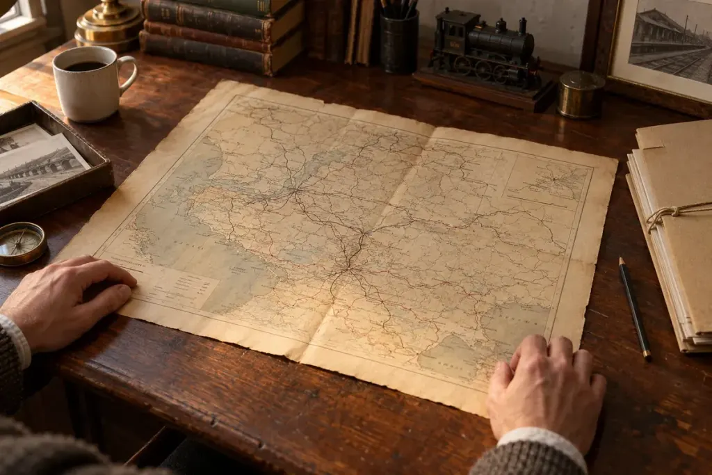
A railway line on an old map looks satisfyingly definite. It runs between named places, crosses rivers and seems to explain how a region developed. Yet the map may show a proposal, promote a company or simplify a route that was more complicated on the ground.
Before tracing the line, read the object as a document with a maker and a purpose. This approach works for a Montana branch line as well as a railway in another country. The questions remain useful even when the map is unfamiliar.
Write the map’s identity at the top of your notes
Record its title, credited creator or publisher, publication date and the collection reference. If a catalogue supplies an estimated date, preserve that uncertainty. A later reproduction may display an older map without becoming an original from that period.
The Library of Congress record for Railroad Maps, 1828–1900 provides a starting point for a substantial digitised collection. Use the individual item’s catalogue details alongside the image; a thumbnail alone leaves out information needed to identify what you are studying.
Read the legend before following a route
Look for distinctions between operating, proposed and other lines. Check whether colours represent railway companies, land ownership or something else. When a key is missing or illegible, mark your interpretation as provisional rather than filling in the meaning from a modern map.
For an invented example, a dashed line connects a mine to a junction. It might be tempting to describe it as an abandoned branch. If the legend calls dashed lines proposed routes, the same mark supports a very different question: was the line ever built?
Ask what the publisher wanted you to notice
Consider which towns receive large lettering, which connections are emphasised and what appears around the map. Advertisements, land-sale information or a timetable can help identify its intended audience. Those features are evidence of presentation, not automatic proof that the map is inaccurate.
Keep description separate from explanation. “This town is printed in larger type” is an observation. “The railway wanted to attract settlers here” is an interpretation that needs supporting material. Writing both clearly makes later research easier to revise.
Compare dates without forcing them to agree
Place the map beside a dated timetable, company record or another map covering a similar area. Note differences in names, endpoints and connections. A mismatch may reflect a change over time, a publishing delay or different purposes, rather than a simple mistake.
Do not use a historical route map to determine present-day access. A former railway corridor may now cross private land, an active operational site or a protected area. Current access information belongs to a different research task.
Finish with a question you can investigate
A good first page might end with: “The map shows a proposed connection in this year; I need a later timetable or construction record to establish whether it opened.” That is more valuable than turning a suggestive line into a confident history.
Save the source link and the date you accessed it, together with a small list of unresolved points. Each new document can then answer a specific question. The map becomes a route into research, rather than the final word on the railway it depicts.