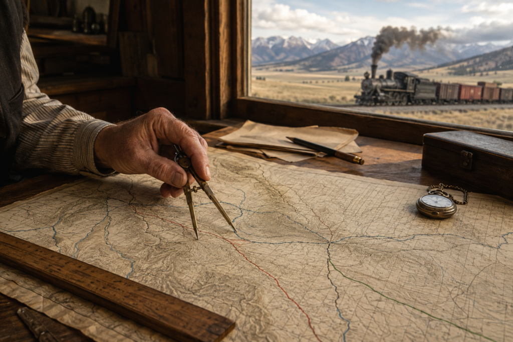
Railroad maps redrew Montana before many of its modern cities, counties, and highways had taken permanent form. The earliest historic Montana railroad maps did more than record steel tracks across open territory: they advertised land, directed migration, connected mineral districts, and turned remote sidings into commercial towns.
Read chronologically, these maps reveal how transportation corridors became the framework of the Treasure State. Rivers, mountain passes, reservations, mining camps, and surveyed townships all influenced where railroads could go. Once the tracks arrived, however, the railroads began influencing nearly everything around them.
Historic Montana Railroad Maps Before the Rail Boom
Before transcontinental railroads crossed Montana Territory, maps presented the region through rivers, military roads, wagon trails, mining districts, and federal surveys. Distances were measured less by straight lines than by the difficulty of crossing mountains, finding water, or surviving winter weather.
The General Land Office, commonly known as the GLO, introduced a more systematic cartographic structure. Its maps divided land into townships, ranges, and sections. They also identified reservations, public lands, mineral areas, rivers, and proposed transportation corridors.
Railroad construction added another layer to this geographic record. Surveyed routes appeared as narrow lines crossing a landscape already divided by federal land policy. Station names, branch lines, land-grant boundaries, and connections to mines or agricultural valleys gradually filled previously sparse areas.
For researchers, Montana railroad history becomes far easier to understand when these different map layers are read together. A railroad map shows the route, while a GLO map helps explain the land ownership and political geography surrounding it.
The 1880s: Railroads Transform the Territorial Map
The 1880s marked the decisive cartographic turning point. Montana was still a territory when rail construction began reorganizing its economy around long-distance transportation.
Maps from this period often look unfinished. Lines terminate abruptly, proposed extensions appear as dashed routes, and towns that later became important may be shown as little more than station names. That uncertainty is precisely what makes the maps valuable: they capture Montana while its transportation system was still being created.
The Utah and Northern Reaches Butte
The Utah and Northern, associated with the Union Pacific system, entered Montana from Idaho and reached Butte in 1881. Its route crossed the territorial boundary near Monida Pass before continuing through the Beaverhead Valley toward Dillon and the mining districts around Silver Bow and Butte.
On period maps, this north–south corridor looks different from the later transcontinental lines. It connected Montana’s mining economy with Utah, Idaho, and Union Pacific’s broader network rather than crossing the entire territory from east to west.
The line strengthened Dillon as a shipping and supply point while giving Butte’s mines more reliable access to machinery, labor, fuel, and distant markets. Later Union Pacific maps retained this southern gateway, making it an important counterpoint to Montana’s better-known northern transcontinental corridors.
Northern Pacific Creates an East–West Spine
The Northern Pacific completed its transcontinental route through Montana in 1883, with a ceremonial golden spike driven at Gold Creek on September 8. Its appearance on territorial maps announced that Montana was no longer geographically isolated from major markets.
The railway entered eastern Montana along the Yellowstone River corridor, serving places such as Glendive, Miles City, and Billings. It continued west through Livingston and Bozeman before negotiating the Continental Divide and the mountain valleys leading toward Missoula and Idaho.
This alignment tied together cattle country, agricultural valleys, timber resources, mining districts, and Yellowstone tourism. Maps of the Northern Pacific Railway in Montana also show why Livingston developed into a major operating center and why Billings grew into one of the state’s most important commercial cities.
The route was not simply a line between existing settlements. In many places, the station came first. Businesses, streets, grain facilities, hotels, and residential blocks were then organized around the depot and rail yard.
Land-Grant Maps and the Checkerboard Landscape
Some of the most revealing historic Montana railroad maps are not conventional route maps. They are land maps showing alternating sections associated with federal railroad grants.
On these documents, railroad corridors can appear as checkerboard patterns extending across large areas. Alternating parcels represented land granted to support construction, while intervening sections remained under other forms of ownership or federal control.
These maps are essential because they connect transportation with land policy. Railroads could sell selected lands, promote settlement, harvest timber, or use property as financial security. The value of a route therefore came not only from carrying passengers and freight but also from influencing the development of surrounding territory.
GLO maps were comparatively technical. They emphasized legal surveys, township boundaries, section numbers, reservations, and land status. Railroad company maps had a different purpose. They reduced complex landscapes into persuasive images of accessibility and opportunity.
A promotional map might make distances appear manageable, emphasize productive farmland, and highlight connections to Chicago, Minneapolis, Seattle, or Portland. Mountains became stylized barriers crossed by confident lines, while Indigenous homelands and difficult environmental conditions often received far less attention.
Great Northern Railway Maps and the Hi-Line
The Great Northern established a second major east–west axis across northern Montana during the late nineteenth century. Unlike the Northern Pacific, the Great Northern is particularly associated with building its transcontinental system without a direct federal land grant for that undertaking.
A typical Great Northern Railway map of Montana traces a sweeping route across the northern plains. Communities such as Wolf Point, Glasgow, Havre, Shelby, Cut Bank, and Browning appear in sequence before the line crosses the Rocky Mountains through Marias Pass.
This corridor became known as the Hi-Line. Its geography differed sharply from the Northern Pacific route. Rather than following the Yellowstone Valley across southern Montana, it served the Missouri River country and northern plains before approaching the Rocky Mountain Front.
Promotional maps presented the route as a pathway to farmland, new communities, and Pacific markets. They were accompanied by settlement campaigns aimed at farmers and immigrants. The maps converted undeveloped land into an apparently orderly landscape of stations, available acreage, and dependable transportation.
Following Great Northern Railway routes on maps from different years reveals how a transcontinental main line generated branches and feeder connections. Havre became an important division point, while Great Falls developed as a rail, industrial, agricultural, and power center connected to regional branch networks.
Milwaukee Road Maps Add a Third Transcontinental Corridor
The Chicago, Milwaukee & St. Paul Railway—later widely known as the Milwaukee Road—began building its Pacific Extension across Montana in 1907. By 1909, it had completed its northern transcontinental route to the Pacific Coast.
Because the Northern Pacific and Great Northern already occupied many advantageous corridors, Milwaukee Road maps reflect a more difficult competitive geography. The line crossed eastern Montana through communities such as Terry, Miles City, and Forsyth, then continued through central Montana toward Harlowton, the Missouri River crossings, Butte, Deer Lodge, and Missoula.
Its arrival created competition while providing service to districts beyond the most established routes. Company maps emphasized the Milwaukee Road as a modern alternative linking the Midwest and Pacific Northwest.
A particularly distinctive feature was electrification. Beginning in the 1910s, electric locomotives operated across major western portions of the route, including demanding mountain territory. Later maps identified substations, operating divisions, yards, and infrastructure that distinguished the system from its rivals.
The geography preserved in Milwaukee Road history also illustrates the fragility of transportation corridors. After the company abandoned its Pacific Extension west of Miles City in 1980, long sections disappeared from active national rail maps even though grades, bridges, tunnels, depots, and town plans remained visible on the ground.
The 1920s Peak: Reading Montana’s Densest Rail Network
By the 1920s, Montana railroad maps had reached their greatest visual complexity. Three northern transcontinental systems crossed the state, while Union Pacific-affiliated lines entered from the south. Numerous branches connected mines, farms, forests, smelters, and smaller communities to the main lines.
A map from this era could display passenger stations, freight yards, junctions, industrial spurs, branch terminals, and rival routes competing within the same valley. Butte was especially prominent because several major systems sought access to its copper economy.
This network influenced settlement and political geography in several ways:
- Northern Pacific stations encouraged linear development along the Yellowstone Valley, strengthening Glendive, Miles City, Billings, Livingston, and other rail-oriented communities.
- Great Northern division points and stations anchored towns across the Hi-Line, where the railway often served as the principal connection to distant markets.
- Milwaukee Road facilities supported communities along its central Montana corridor, including places whose economic importance declined after service disappeared.
- The Utah and Northern corridor reinforced Dillon and Butte as southern Montana gateways connected to Idaho and the wider Union Pacific network.
- New counties frequently selected rail-served towns as county seats because residents, officials, mail, and legal records could reach them more efficiently.
- County boundaries were not created by railroads alone, but transportation access influenced petitions for new counties and the practical grouping of communities around rail centers.
These relationships explain why old Montana train lines remain visible even where the rails have vanished. Street grids, grain elevators, warehouse districts, depot parks, and unusually narrow property corridors can preserve a former railway alignment for generations.
What Company Maps Included—and What They Left Out
Historical maps must be interpreted as arguments, not neutral photographs of the landscape. Every publisher selected what deserved emphasis.
Railroad promotional maps highlighted speed, connectivity, fertile land, national parks, mineral wealth, and commercial potential. They frequently enlarged bold main lines while simplifying topography and reducing the apparent isolation between destinations.
GLO maps focused on legal land divisions, but even their precision reflected federal assumptions about surveying, ownership, and development. Indigenous territories might be represented primarily as reservation boundaries rather than as culturally complex homelands crossed by older travel networks.
Maps also aged quickly. A proposed branch might never be built. A station could be renamed, relocated, or abandoned. Corporate mergers changed the names printed beside established tracks, even when the physical alignment remained largely unchanged.
Reliable interpretation therefore requires comparison. The strongest research method places promotional maps beside GLO plats, topographic sheets, county maps, timetables, and later transportation surveys. Contradictions between them often reveal more than any single document.
From Passenger Networks to Modern Freight Routes
Modern rail maps of Montana are much simpler than maps from the 1920s. Passenger service contracted, marginal branches disappeared, and corporate consolidation placed much of the surviving network under fewer operators.
BNSF Railway now operates corridors descended largely from the Great Northern and Northern Pacific systems. The northern transcontinental route remains active across the Hi-Line, while the southern corridor continues through the Yellowstone Valley and western mountain passes.
The former Northern Pacific line across southern and western Montana was operated for decades by Montana Rail Link before returning to BNSF operation in 2024. Union Pacific continues to reach the Butte and Silver Bow area from Idaho, preserving the historic southern connection established by its predecessor network.
Short lines and industrial railroads complete the modern picture by serving specialized agricultural, mineral, and local freight markets. Today’s trains carry commodities different from many nineteenth-century consists, but the underlying geography remains familiar: river valleys, mountain passes, resource centers, and interchange points still govern movement.
Anyone tracing historic Montana train routes onto a modern freight map will find both continuity and disappearance. The busiest corridors often follow alignments selected more than a century ago, while abandoned grades lead toward towns that lost their original economic purpose when the rails were removed.
Reading Railroad Maps as Montana’s Economic Biography
Historic Montana railroad maps are windows into the state’s economic foundation. Their lines explain why some towns expanded into regional centers, why industrial districts formed beside certain rivers, and why communities separated by short distances sometimes developed very different futures.
The Northern Pacific organized commerce along the Yellowstone corridor. The Great Northern created the Hi-Line and promoted settlement across northern Montana. The Milwaukee Road inserted a technologically ambitious competing route through central and western districts. Union Pacific’s predecessor lines connected Butte and southwestern Montana with markets to the south.
Together, these systems transformed location into opportunity. A junction could become a city, a division point could support hundreds of families, and a branch-line terminal could determine where an entire agricultural district conducted business.
Studying the railroad heritage of Montana therefore requires more than identifying locomotives or memorizing company names. It requires reading the landscape as a layered map of land policy, engineering, commerce, migration, and political power.
Historic Montana railroad maps preserve that layered story with unusual clarity. Every station dot, abandoned branch, land-grant square, and mountain crossing records a decision that helped build the Treasure State—and continues to shape how Montana functions today.


