
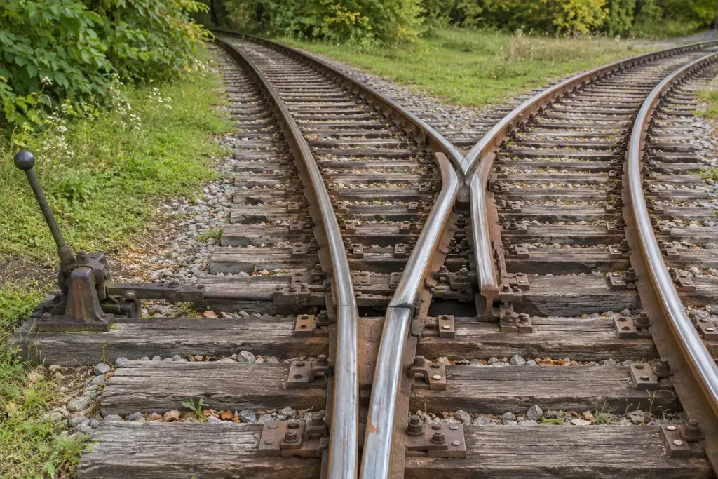
On an old railway plan, a triangular connection may look like an extravagant way to join two lines. Its shape can also provide something operationally valuable: a route that turns a locomotive without a turntable.
The National Park Service’s account of the historic Elkmont train wye describes how logging trains used the arrangement to reverse direction. The surviving landscape and interpretive drawing help connect the track geometry with the work it once performed.
Trace the front of the locomotive
A wye uses three connected legs. To understand the turning movement on a plan, mark the locomotive’s front with an arrow. Follow it along one leg, reverse the movement through another connection, then leave by the remaining route. The arrow can end up facing the opposite way even though no circular platform has turned beneath it.
This is a reading exercise for a diagram, not an instruction to operate railway equipment. Actual movements depend on points, signals, operating rules, gradients and the usable length of each track.
Length determines what can be turned
A short tail track may accommodate a locomotive but not its whole train. That distinction matters when interpreting a caption saying that a “train turned here.” Ask whether the source means the engine alone, part of the consist or the full formation.
For an original map-reading note, record the date of the plan, the three connections and any labelled sidings or obstructions. Compare that with a photograph from a similar period. A later road or building may occupy a former leg, making the original purpose difficult to see from today’s view.
A wye can also function as a junction, so shape alone does not prove how frequently it was used for turning. Operating records, timetables, photographs and local accounts can add that context. At a heritage site, stay on authorised public routes while comparing the interpretation with the landscape. The most useful question is how the layout served the railway at that time, rather than whether its surviving tracks still form a perfect triangle.